
Unclaimed listing
Sign in to claimClaim Cartopolis
Verify ownership to edit this listing, publish updates, access analytics, and use launch tools.
What it does
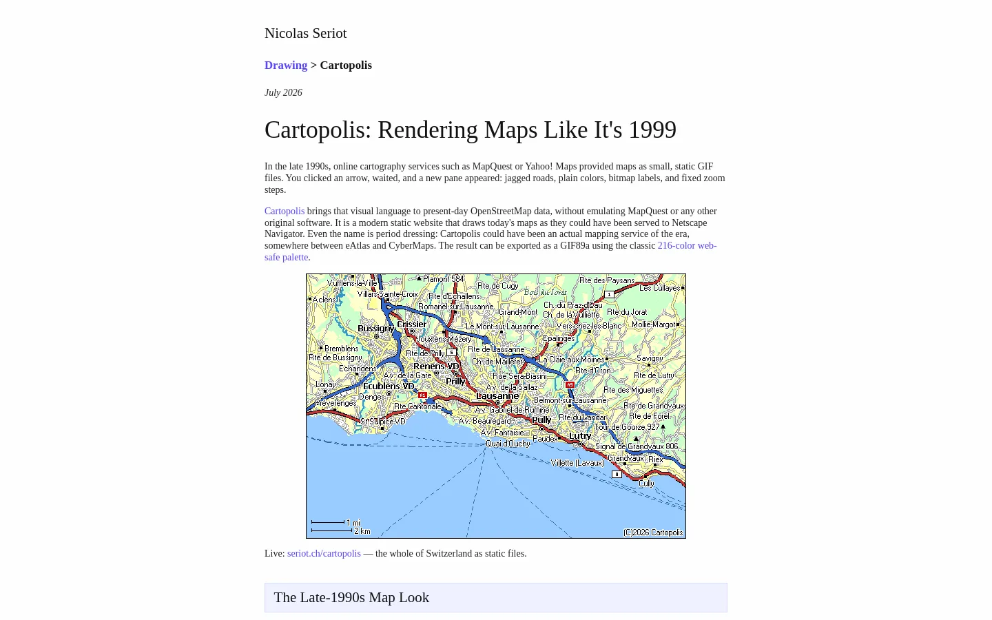
A modern static website that renders present-day OpenStreetMap data with a late-1990s web-map aesthetic (static GIF-era look). Supports panning, fixed zoom levels, offline place/street search from static files, sharing views via URL, and exporting views as indexed GIF89a (with its own LZW encoder). Includes an optional aerial photo view using swisstopo imagery for comparison. Architecture uses an offline compiler to build compact binary vector packs and a JavaScript renderer that fetches only 필요
Launch details
Built for the work
Categories
Designdesigndeveloper-toolsOpen Source


Community
Discussion
No comments yet. Start the conversation.